Wednesday 6 May 2020
In Search of an Abandoned Canal
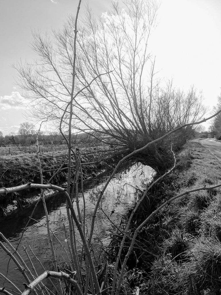
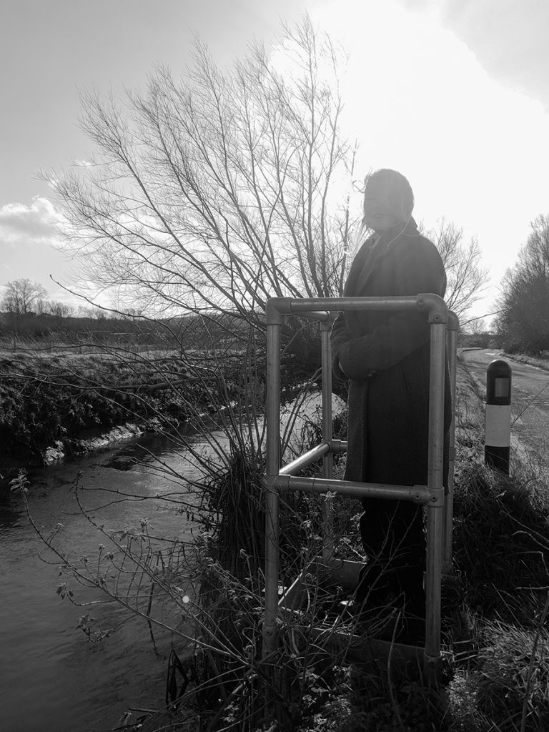
Back in February, before the lockdown when we could travel freely about the countryside, we went in search of a canal. The canal in question was the Glastonbury canal. Now abandoned, it used to exist between Glastonbury, into the River Parrett and then on, to the sea. However, bits of it still exist.
We visit Glastonbury regularly. It’s one of our favourite places. When Glastonbury is mentioned, people immediately think of the festival. The Glastonbury Festival is actually sited at Worthy Farm in Pilton which is just outside the town. The Tor is the next thought: a hill, rising 518 feet out of the wetland countryside: the Somerset Levels. The levels were and still are known as the Isle of Avalon. What we think of is the Rainbow’s End Cafe – the best place for Vegetarian food in the world. What doesn’t spring to mind is – canal.
An Abandoned Canal
The canal at Glastonbury is near forgotten but parts of it still exist. It is no longer navigable. Short-lived, as some canals were, it had a brief reign of glory before being sold to the railway company of the time. The railways took over from the canals, replacing them with faster transport solutions.
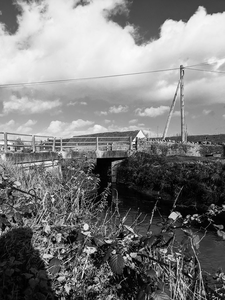
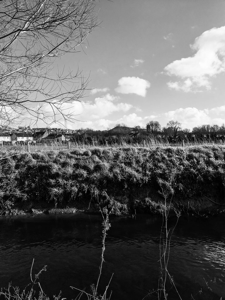
Our hunt started at the bridge on the junction of Meare Road & Godney Road. We travelled down Meare Road keeping the canal route to our right hand side for a while. This went on through Shapwick Heath but we travelled back, to the bridge. Turning down Dyehouse Lane, we drove a few hundred yards and stopped to admire the view of the Tor from there.
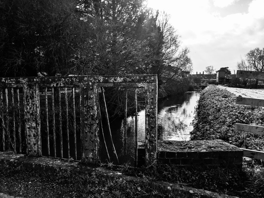
Carrying on, along Dyehouse Lane brought us to a further iron bridge that crossed and took us to Beckery Road.
There is evidence that the canal is still there and can be found. It can provide a walk through some of Somerset’s best countryside.
For us, it’s such a shame this abandoned canal, although in water is no longer able to support narrowboats. This is one place we would love to have moored Nb Silverdale and made our spiritual home.
Resources
rp – peace and narrowboats
